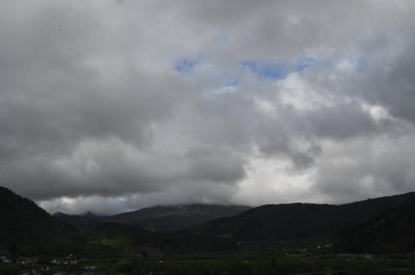
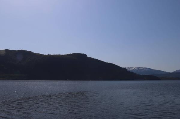
Webcams
S

SW+1
The closest observation stations
Førde lufthavn - Bringeland
elevation 321 m, 3.6 km from Langelandsvatnet
Temperature atTemperature3.8°Wind speed at0.9m/sWind gust at2.8m/sE39 Halbrendslia
elevation 247 m, 3.4 km from Langelandsvatnet
Temperature atTemperature5.1°Precipitation last 24 hoursPrecipitation 0mmE39 Sande bru
elevation 62 m, 10 km from Langelandsvatnet
Temperature atTemperature5.0°Precipitation last 24 hoursPrecipitation 1.1mm
The air around Langelandsvatnet
Air pollution forecast
Langelandsvatnet
:LowLow or no risk for health effects.
Graph which shows air quality for Langelandsvatnet
In the atmosphere
UV forecast
Langelandsvatnet
0No UV radiationGraph which shows UV forecast for Langelandsvatnet Aurora
Langelandsvatnet
Kp index: 5Aurora: Low activity88% cloud coverAurora
Sun and moon
Sun
Night20° below the horizonGraph which shows the sun phases and how high in the sky the sun is for Langelandsvatnet - Sunrise
- Sunset
- Length of day:
- Difference from yesterday:
- Difference from summer solstice:
- Solar noon at
- Next solar eclipse (partial):
Moon
The moon is 22° under the horizon in west
78.5% illuminated, waxing gibbous
- Moonrise in southeast
- Next full moon:
- Next new moon:
- Next lunar eclipse (partial):
Water temperatures
Sandane
45.9 km from Langelandsvatnet
Temperature12.0°Registered by user,